

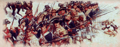
"Don't fire until you see the whites of their eyes! Then fire low!" -- Israel Putnam


©2016 Hubbardton Military Road Association

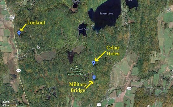
Benson Area
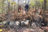
Photos from the hikes between Rt 144 and Perch Pond rd can be found HERE (includes photos of the military bridge and cellar holes)
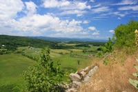
Photos from the hike to the overlook between Needham road and Perch Pond Road can be found HERE
Landmark Coordinates:
Cellar Hole next to the Military Road:
43°44'23.16"N
73°16'31.78"W
Military Bridge:
43°44'07.1982"N
73°16'31.1988"W
Lookout northwest of Perch Pond:
43°44'55.6254"N
73°18'23.3202"W
After some careful research, local historian Bill Powers has documented the original habitants of the cellar holes. A detailed report can be read HERE.
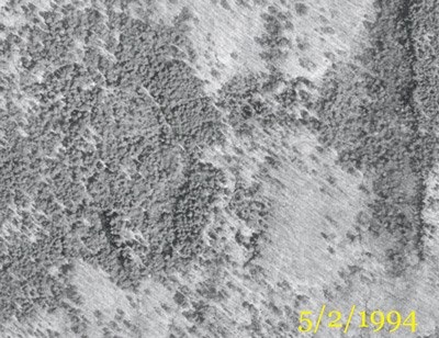
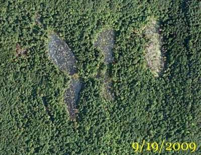
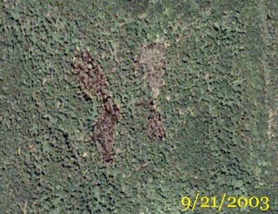
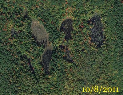
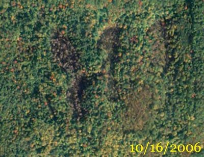
Below is a series of satellite photos showing the swampy area located between the cellar holes and the military bridge for the past 16 years. You will see the changes especially in the eastern area. This could suggest significant differences in the area of the bridge when it was built compared to how it appears today.